
With 1.2 million acres of roadless lands in the Clearwater Basin, the question of how much and where Wilderness should be designated has been the source of debate and controversy for over 60 years. The CBC works across diverse stakeholders to advocate for the maximum benefit of the forest as a whole- including Wilderness. Wilderness areas represent a unique type of land designation that hold immense intrinsic value for Americans across the state.
Background
With the enactment of the 1964 Wilderness Act, the Selway-Bitterroot Wilderness became Idaho’s first formal designation. It was eventually joined by the Gospel-Hump, Frank Church–River of No Return, Hells Canyon, Sawtooth, White Clouds, and Hemingway-Boulders Wilderness areas. Today, these seven regions constitute the state’s officially designated wilderness. Beyond these, current Forest Plans recommend additional acreage for protection, while the Idaho Roadless Rule identifies “Wildland Recreation” zones managed similarly to recommended wilderness.
National Wild & Scenic Rivers
From the sprawling Snake River Plain to the rugged heart of the Frank Church River of No Return Wilderness, Idaho’s identity is carved by its iconic waterways. While the Snake River anchors our geography, the CBC honors a deeper legacy: Idaho’s pioneering role in the National Wild and Scenic Rivers System. Though visionary leaders like Senator Frank Church championed the protection of the Middle Forks of the Clearwater and Salmon Rivers, today less than 1% of Idaho’s 107,651 river miles carry this designation. We work at the confluence of history and conservation, bridging the gap between our state’s vast aquatic resources—including the Port of Lewiston, the West Coast’s farthest inland seaport—and the vital need to steward these waters for future generations. The most recent map of Wilderness & Wild and Scenic Rivers designation from the 2025 Nez-Perce-Clearwater National Forest Plan can be found here.
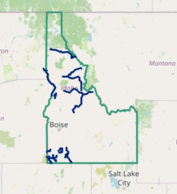
Wilderness Connect is a national wilderness library created in 1996 and maintained through a collaborative partnership between the Wilderness Institute, the Arthur Carhart National Wilderness Training Center and the Aldo Leopold Wilderness Research Institute. The below map is interactive and shows Wilderness area boundaries across the United States. Scroll over an area to learn more about the Wilderness area, when it was designated at its unique features.